Background
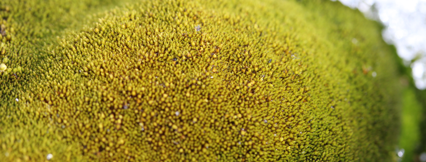
Arthur Platel is a PhD student from the US focused on developing remote sensing methods to identify and map vegetation in Antarctica and the sub-Antarctic Islands. His research combines high-resolution drone imagery with satellite data using machine learning to improve the accuracy and scale of vegetation monitoring. Arthur aims to deepen our understanding and aid in the conservation of Antarctic ecosystems while advancing the field of remote sensing.
Arthur holds a Bachelor’s degree in Earth Sciences (2011) and a Master’s in Data Science (2023). He has professional experience at Planet Labs, NOAA, NASA DEVELOP, and the National Parks Service, where he worked on land use and land cover change (LULCC) analysis, machine learning-based change detection algorithms, and data pipeline development.