Background
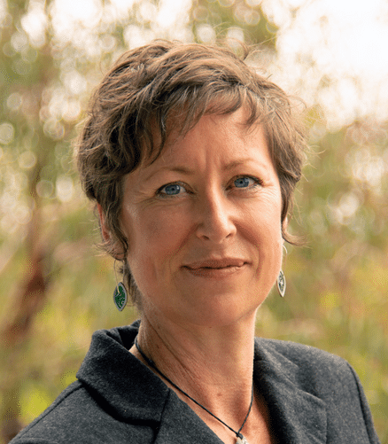
Dr Mardi McNeil is an Earth scientist who maps and characterises Australia’s seafloor environments to support evidence-based management of marine natural assets.
Managing Australia’s unique environment doesn’t end at the coastline. As a marine geoscientist at Geoscience Australia, Mardi works with bathymetry maps and seabed rock and sediment information to advise government, industry and academic stakeholders on matters of geoscience significance throughout Australia’s vast ocean estate. Mardi has a passion for discovery, and enjoys turning seabed data into useful and accessible information. As a Partner Investigator in SAEF, Mardi will undertake seabed mapping of the Antarctic shelf and nearshore environment. Her research activities focus on geomorphic interpretation of seabed features to understand past ice sheet behaviour and modern seabed processes, and characterisation of benthic habitats and communities to understand biophysical relationships.
Mardi holds a Bachelor of Science with Honours (Environmental Science + Geoscience) and obtained her PhD in marine geoscience from Queensland University of Technology in 2020 with an Outstanding Doctoral Thesis award. Her research interests include marine carbonate sedimentology, paleoenvironments, seafloor surface and subsurface geophysics, and geomorphology from the tropics to the Southern ocean. Mardi volunteers with Women in Earth and Environmental Sciences Australasia (WOMEESA) to champion women in geosciences by amplifying their voices and challenging systemic barriers and biases.


