
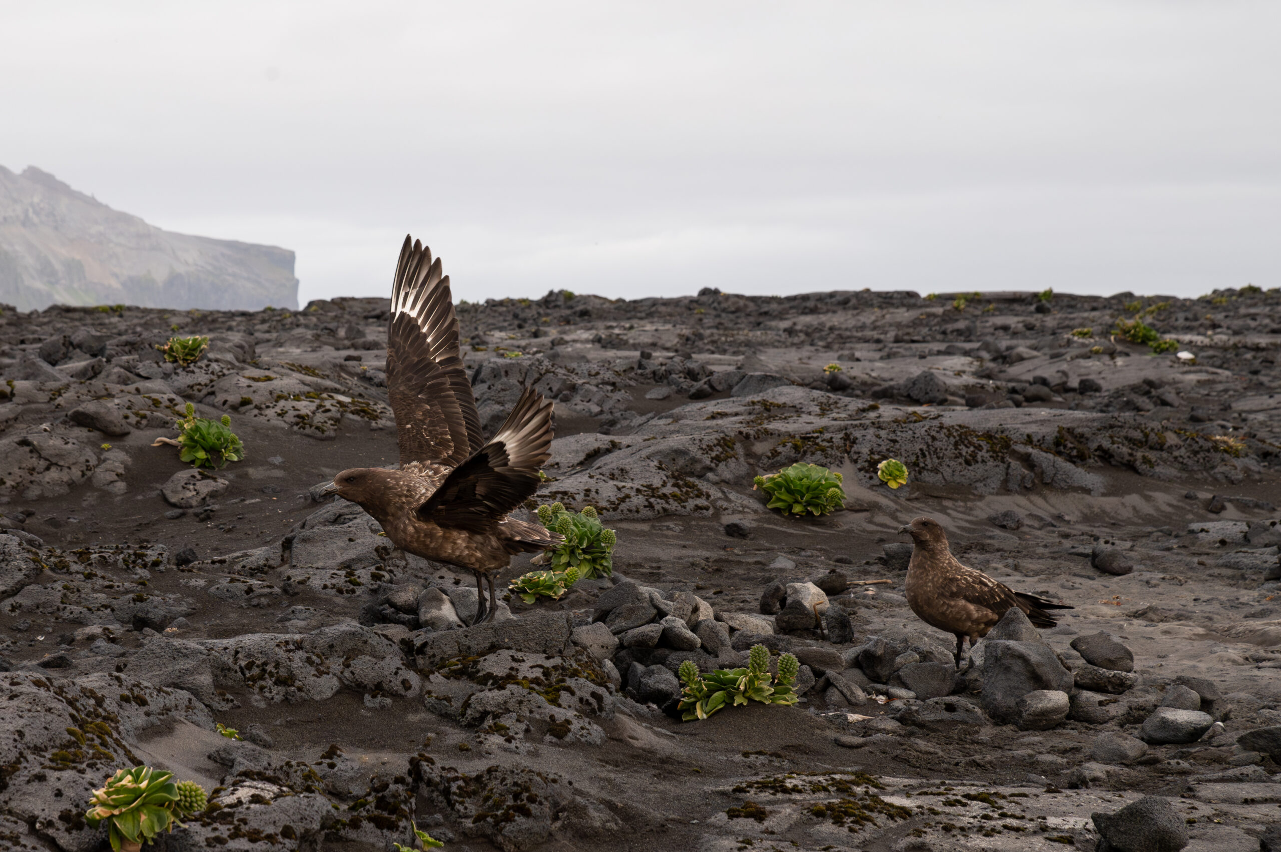
It’s time to put Antarctica on the map in extinction risk assessments
Antarctic researcher Madison Farrant is helping highlight a major conservation blind spot, a continent rich in unique species but lacking basic extinction assessments.
For decades, scientists have tracked the decline of species across the globe, compiling vast databases designed to identify animals and plants at risk of extinction. Yet Antarctica and the Southern Ocean repeatedly fall off the edge of the map.
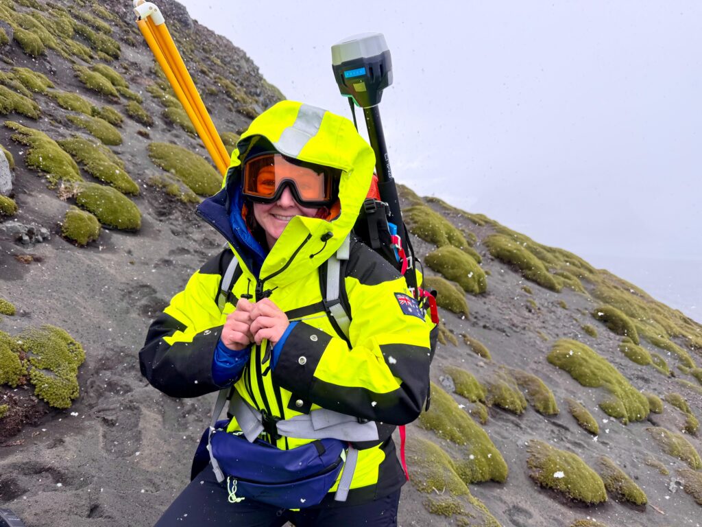
That blind spot is the focus of research by SAEF PhD candidate Madison Farrant, whose work has brought together dozens of datasets to examine extinction risk across the Antarctic and Sub-Antarctic region.
Many global trend analyses have left Antarctica out altogether. “Excluding Antarctica—that’s honestly quite common,” Farrant says.

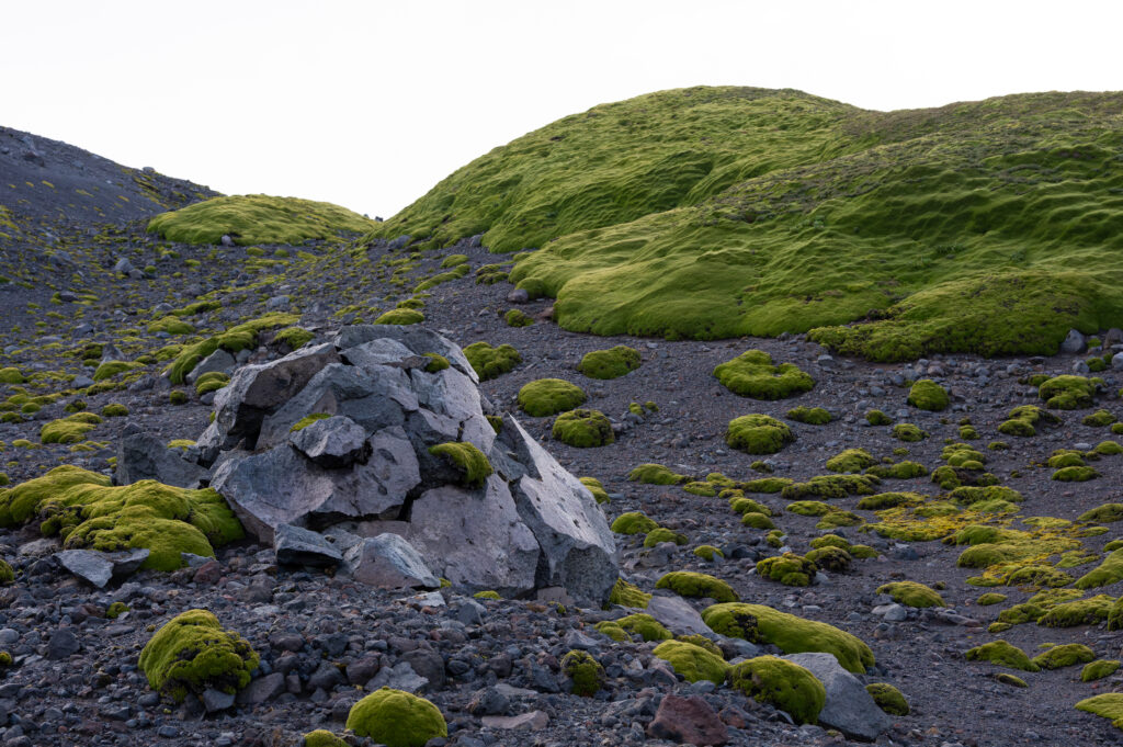
Credit: Madison Farrant Madison Farrant says invertebrates make much of the Antarctic region’s life possible. Moss beds, such as these found on Heard Island in the sub-Antarctic, host a plethora of invertebrate species.
“There isn’t one data set within the Antarctic, Sub-Antarctic and Southern Ocean that details the trends in species extinction risk,” Farrant explains. While information exists through global systems such as the International Union for Conservation of Nature (IUCN), she said the region remains largely overlooked.
The consequences could be significant for ecosystems. Antarctica is often portrayed through images of penguins and seals, but the harsh climate actually limits the diversity of larger animals and complex plants, and small-bodied invertebrates—such as springtails and nematodes—are one of the most dominant forms of biodiversity. These play a myriad of essential roles, including decomposing organic material and recycling nutrients that allow other parts of Antarctica’s biodiversity to survive.1
In fact, one of the strongest patterns Farrant uncovered is the lack of assessments for invertebrates. “Even though invertebrates account for the majority of species diversity, only a tiny proportion of invertebrates had an extinction risk assessment.”
Using these assessments to classify species as vulnerable and endangered often triggers conservation efforts and research funding, and so these types of gaps will leave keystone Antarctic species out in the cold.
Putting Antarctica back on the map
One hurdle is that extinction risk assessments are often driven by national governments. But unlike countries such as Australia and New Zealand, which systematically assess species within their borders, international coordination is required to complete these in Antarctica.
Extinction assessments typically rely on long-term population monitoring and tracking whether species are increasing or declining over time, and both the coordination and collection of this data is very challenging in Antarctica, Farrant says.
As a result, many global trend analyses have left Antarctica out altogether. “Excluding Antarctica—that’s honestly quite common,” Farrant says.
Nonetheless she stresses that a globally coordinated species extinction risk effort in Antarctica could in fact be a strength—if many countries used their resources assess the region—but nations would need to work together towards shared goals.
Other assessment options
Climate change vulnerability assessments can help fill in some of the picture. Unlike traditional extinction risk assessments, which often rely on long-term population data, vulnerability assessments examine how exposed a species is to climate change.
They can incorporate factors such as a species’ rarity, its ability to tolerate temperature changes, how specialised its habitat requirements are and whether conditions in its environment are expected to change rapidly.
Farrant stresses this approach is complementary to extinction risk assessment and should not be used to replace them. But where population data are limited, climate change vulnerability assessments can provide valuable information to governments and conservation managers trying to prioritise funding and identify emerging threats, says Farrant.
Coordination and new tech closes gaps
There are however also fresh reasons for optimism. New technologies—from drones using AI to help assess images (technology Madison aims to take advantage of in her PhD) to sensor-driven biodiversity monitoring programmes—are making it easier to gather ecological data in one of the world’s most remote environments.
International collaboration, which is intensifying as the impact of Antarctic driven weather changes and sea-level rise looms, is also creating the means to close critical knowledge gaps.
“I think there’s a lot of opportunities for being able to do more going forwards,” Farrant says. She would like to see a more strategic future, where conservation priorities are guided not only by charismatic species but by ecological importance, uniqueness and knowledge gaps. “It would just be great if it was more systematic and with more representation for understudied, but ecologically important species.”
References
- Barrett, J.E., Virginia, R.A., Wall, D.H. and Adams, B.J. (2008). Decline in a dominant invertebrate species contributes to altered carbon cycling in a low-diversity soil ecosystem. Global Change Biology, 14, 1734-1744. https://doi.org/10.1111/j.1365-2486.2008.01611.x


